Following on from the success of blog #8, I thought I'd stay in the locality for my 9th endeavour, and present: Minera. I feel I should warn you, I have been researching this place for years, exhaustively, so I may go on a bit...
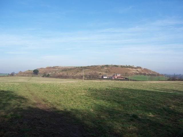
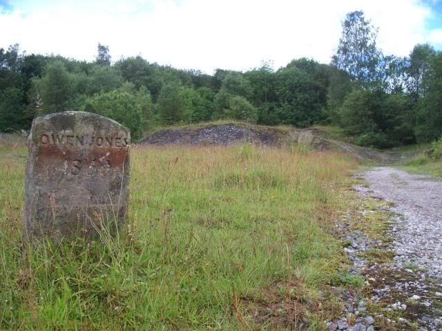
The small village of Minera, to the west of Wrexham, is today a quiet little place, but going back 150 years or so, it was one of the industrial centres of Britain. It has been postulated that lead mining took place here in Roman times ('Minera' derives from the Latin for 'ore'), but the first recorded instance is Edward I sending lead miners to Cornwall to help with the local tin industry there in 1296. Mining on a recognisably industrial scale began in the 1760s. The Chester butcher Owen Jones, a major landowner in the area, had died in 1659, bequeathing his lands to the city companies for the benefit of the poor of Chester, and initially these lands were let for agriculture.
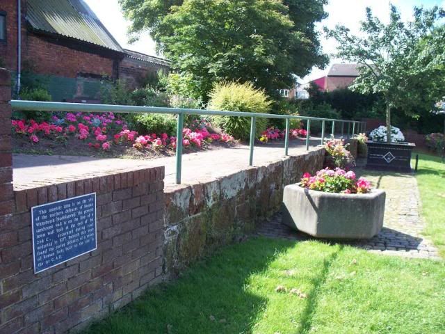
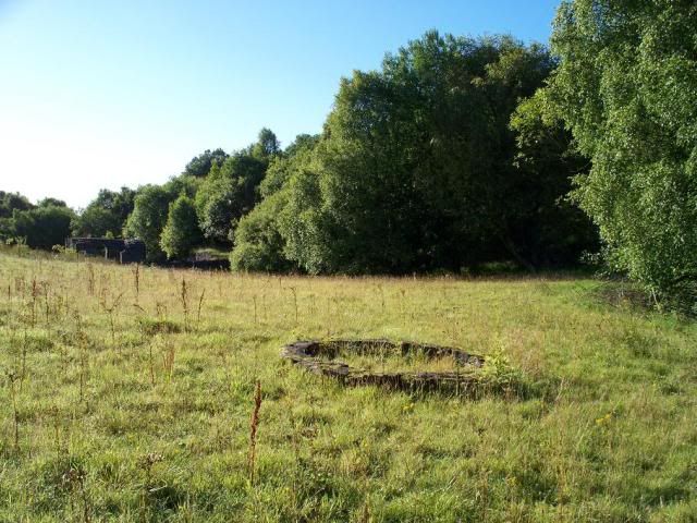
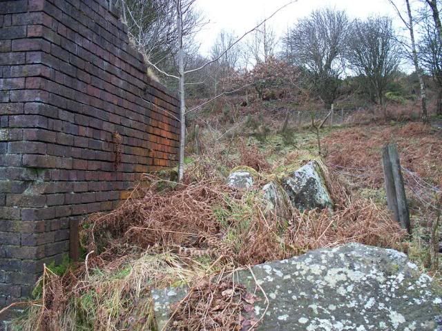
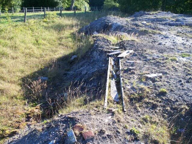
^ the 'Owen Jones Boundary Stone', marking the extent of the lands granted.
The discovery of lead on them caused some mining activity, the royalties from which generated £13000 between 1761-81. As mentioned in the Bersham blog last week, John Wilkinson sank a shaft here, Maesyffynnon Shaft, to a depth of 300ft, in 1783. This operated with one of his pirate Boulton & Watt engines, so of course didn't stay open for long.
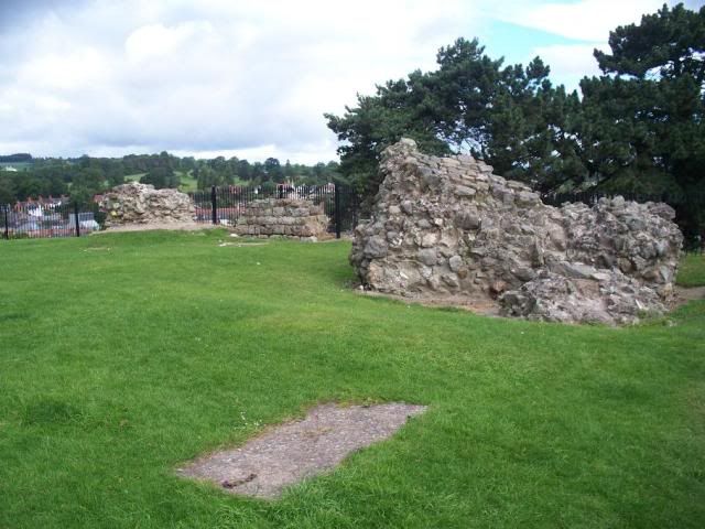
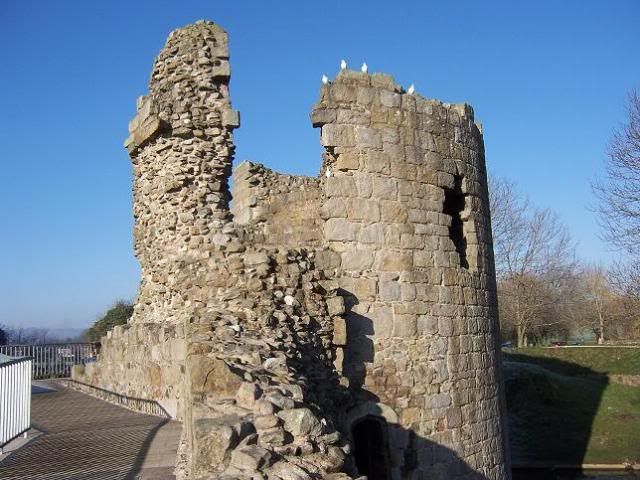
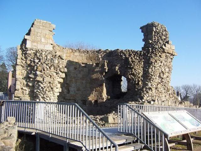
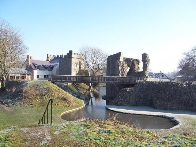
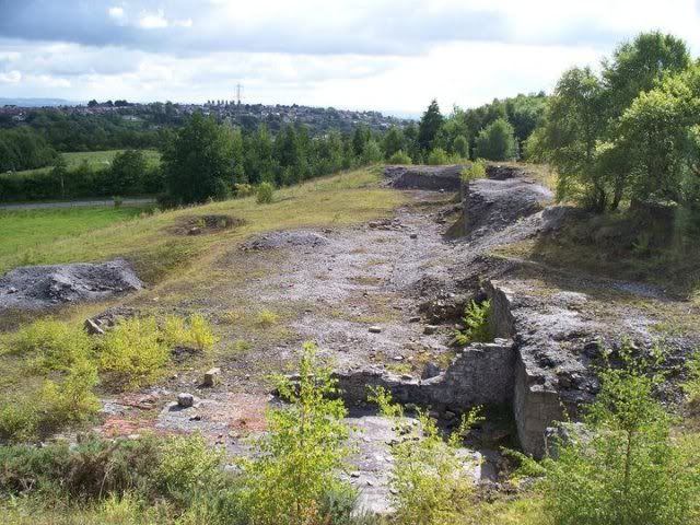
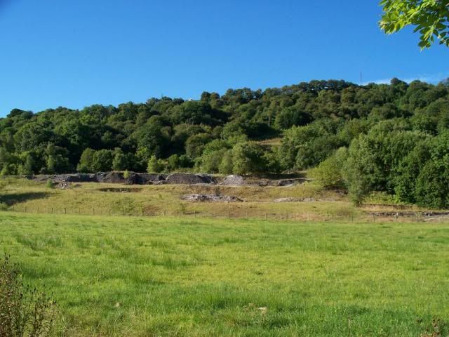
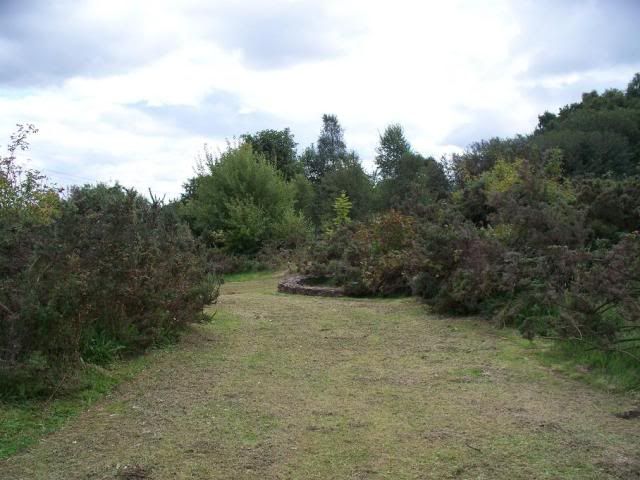
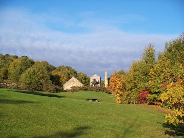
Maesyffynnon Shaft is at the west end of the main Minera leadmines. There are three distinct areas of lead mining in the area - the Eisteddfod setts directly to the west of Minera village and north of the limestone quarry, the mines on Esclusham mountain to the south of the quarry, and the area of 'Minera mines' to the east of Esclusham mountain and south of Minera village. For the purposes of this blog, I'll focus on the east end of the 'Minera mines', which forms something of the 'main attraction', as you shall see.
First, a bit of geology. Lead ore, or galena, is often to be found in the midst of limestone, and most of this area lies on a limestone outcrop. Other minerals most often found in galena alongside lead include silver and zinc, and the leadmines at Minera tended to mine all three variously. Deposits of lead ore run vertically in veins, or ribs, (rather than horizontally in galleries, as with coal), meaning shafts tend to be quite deep, and very prolific. In fact, Minera has the distinction of having the deepest metal-mine shaft in the former county of Clwyd, with Meadow Shaft running to 1220ft.
The problem with lead mining, however, is that limestone is a porous rock, so it can be a very wet experience. In fact, most of the mining activity pre-1845 was halted because of flooding in the mines. The solution is to run a drain, called an 'adit', or 'level', horizontally from the shaft out. This sort of enterprise can cost a lot of money, however, depending on where you are within the earth, and often it was more expense to create such a thing than you could make from the extraction of ore.
In 1845, however, the Minera Mining Company was formed by John Taylor & Co. John Taylor was a mining engineer who had already worked wonders with the tin industry down in Cornwall, and was possibly responsible for the introduction of the circular buddle to northeast Wales at this time. Under the direction of Taylor and his son, also John Taylor, Minera began churning out ore at truly industrial speeds - between 1845-1938 Minera formed 13% of the total British lead output, and 27% of the zinc output. The secret to their success was Deep Day Level:
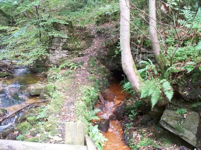
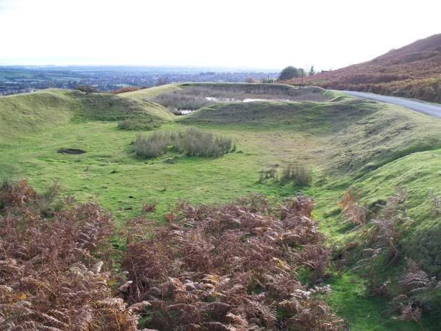
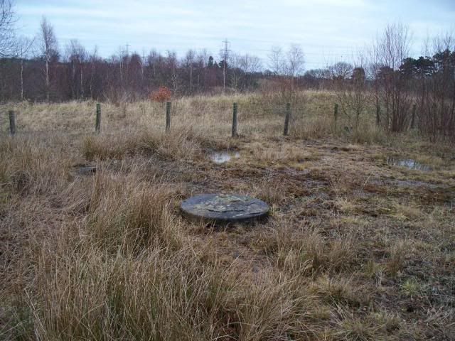
(^ it's the black hole to the far right of this picture)
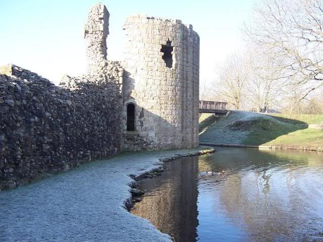
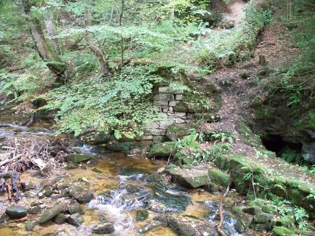
Not particularly exciting, is it? Well, this little hole allowed the company to sink shafts all over the place, all connected to the day level, and so flooding wouldn't incapacitate the mining activity. Two men were employed full-time to keep the levels free from any detritus and ensure they would always drain the mines well. The early AGM reports make frequent mention of how Deep Day Level has been extended, showing how important this was to the successful operation of the mines.
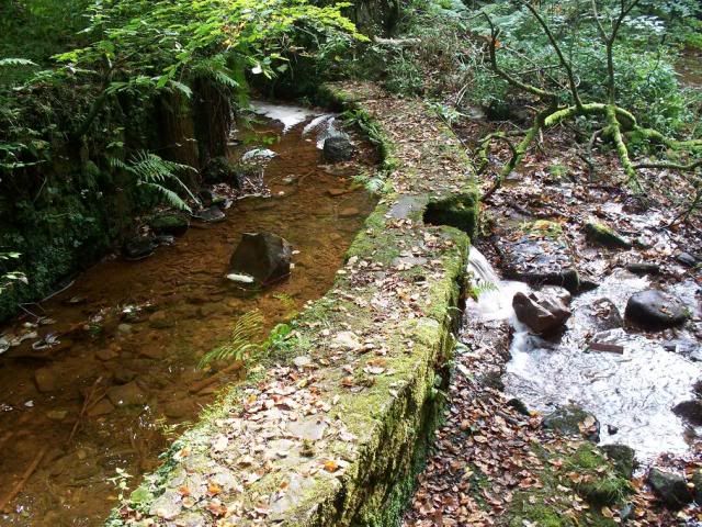
^ Deep Day Level spilling out into the Clywedog.
Digging the level was also a useful way of finding the extent of lead ore deposits.
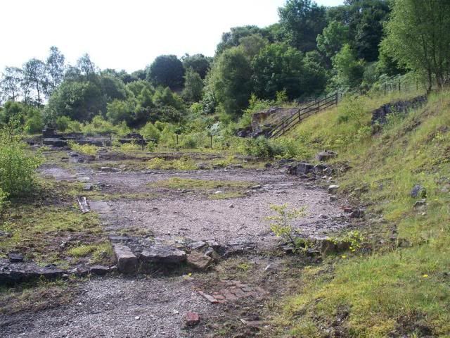
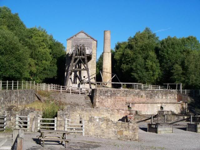
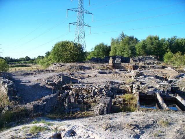
In 1849 the mines were open for business. The Minera Mining Co. worked primarily at the site now called Taylor's Shaft. During the mid-19th century, this was Minera Leadmines.
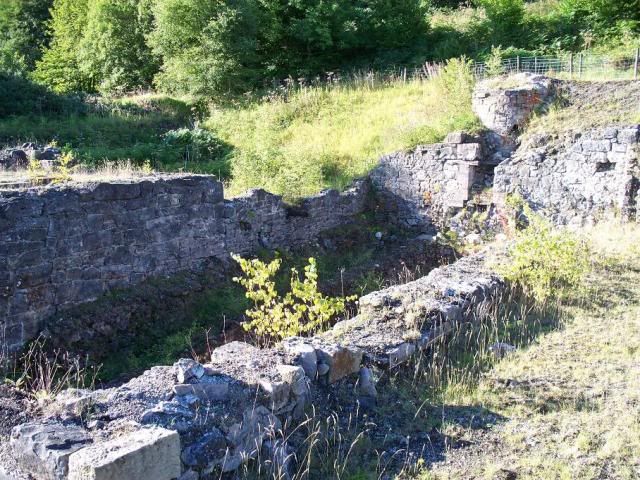
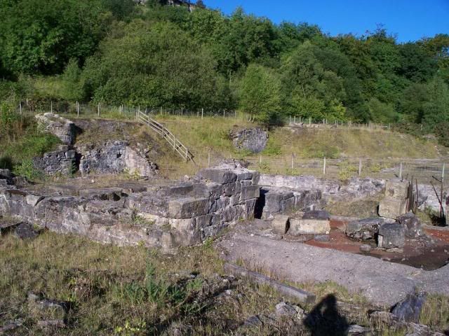
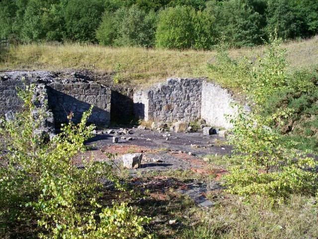
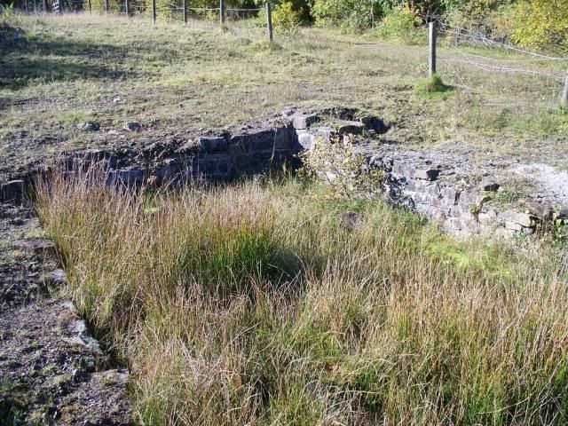
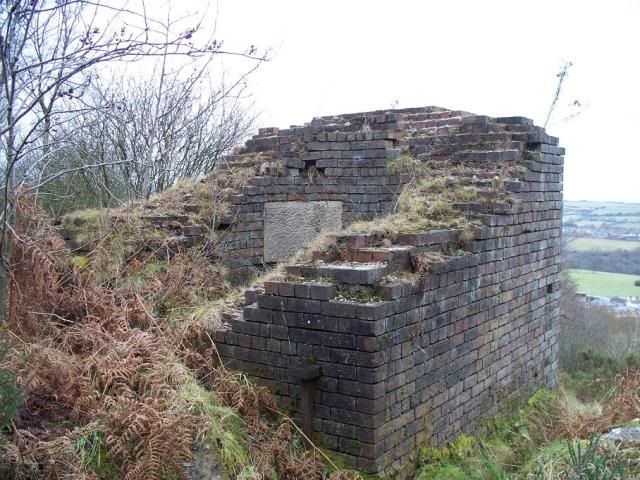
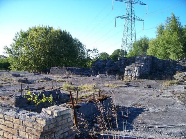
^ a general view of the remains at Taylor's Shaft, those to the south of the mineral railway.
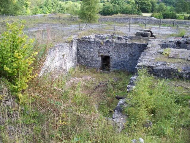
^ the capped shaft, 810ft deep.
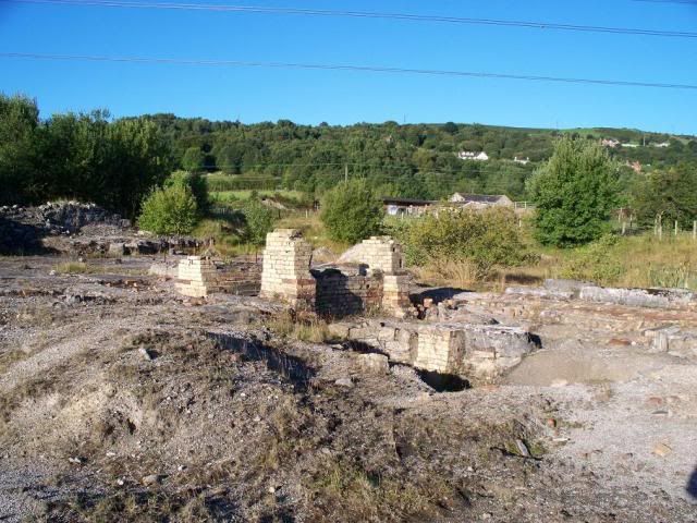
^ the boiler house, with the stub of the chimney at the back.
^ the boiler house again, the ash tunnel in the centre here leads out onto the dressing floors to the north. In its later history, it was used as the miners' dry (like a lockeroom), with a lot of personal possessions found here. The new boiler house was installed in the 1870s in front of the engine house:
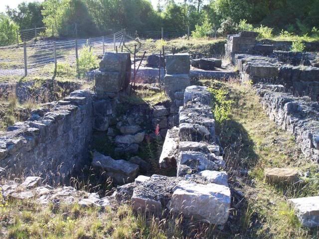
^ the balance-bob pit, the balance box being loaded to 25 tons.
^ the foundations of the engine house (to the left), the shaft (to the right), with the boiler house and chimney in the background.
^ view across the boiler house, better showing the engine bed in the centre there.
^ Taylor's Shaft was worked by an 80in engine called the 'Miner's Mate', the largest engine on the sett. At the time of the excavations, the outline of this engine was visible as a rust mark on the engine bed (above), but I can't see it now. Ah well!
^ the capstan pit and rope trench.
^ sometime in the 1880s Taylor's Shaft converted to steam winding, and this I believe to be the foundations of the engine house for this.
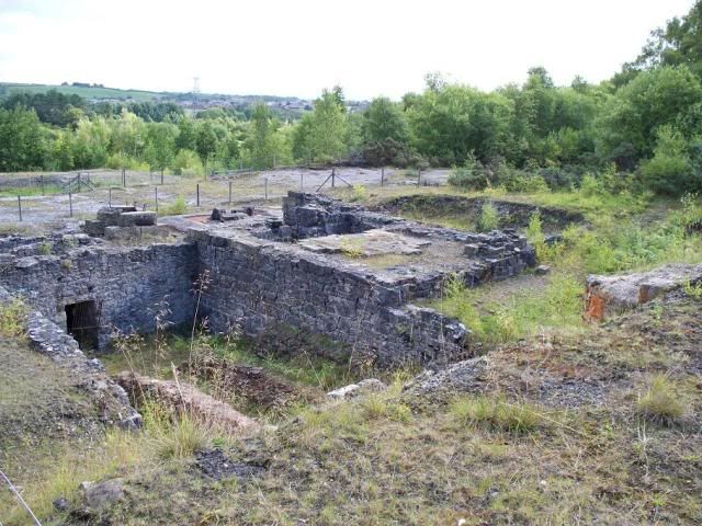
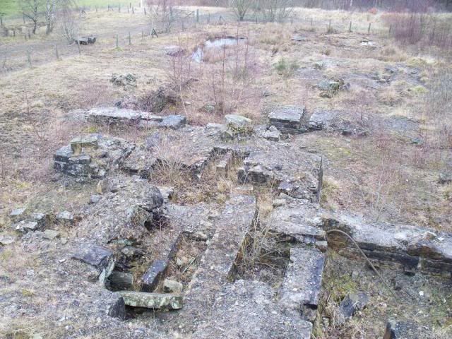
^ a general view of the main workings, with the tantalysingly-named "mine building #2" in the foreground.
^ "mine building #1", with the workings in the rear. I have no idea what either of these buildings were for, they were possibly connected with the joiner's shop/fitter's shop/stores/saw mill that make Taylor's Shaft the "outstanding example" of a lead mine that it was scheduled for!
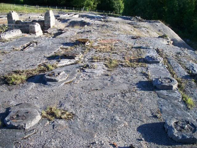
^ the dressing floors of Taylor's Shaft, situated below the railway.
^ the run of ore bins to the north of the mineral railway.
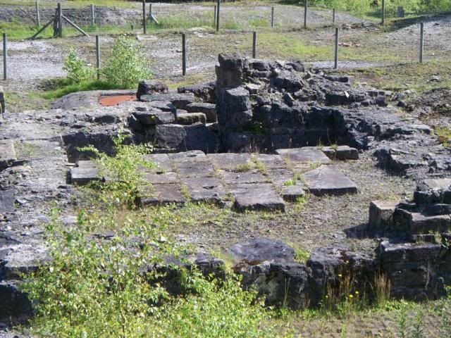
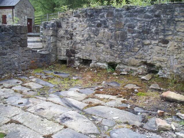
^ I'm going to go out on a limb here and call this the mine office. Of all the buildings at the Taylor's Shaft site, this is the only one that has a nice flagstone floor. I'm not sure what the recess at the back there is, though.
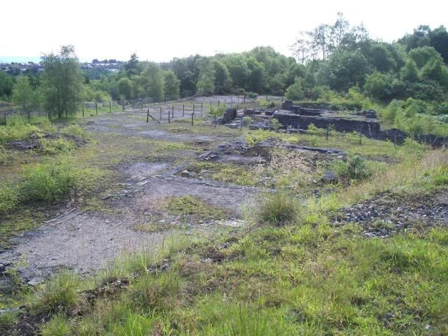
^ general view of the dressing floors.
^ the smithy, to the south of the main workings. Often used as a mortuary, as it was out of the way I suppose.
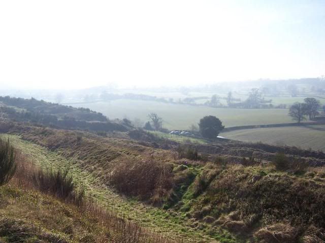
^ high up on the way to Park Leadmines on Esclusham Mountain, the water reservoirs used by Taylor's Shaft.
Meadow Shaft, to the east of Taylor's and where the visitor centre now lies, was something of an auxiliary site, along with other shafts to the east at Roy's, and west at Ellerton's, Speedwell, Lloyd's and Andrews.
^ Speedwell Shaft is underneath this red-brick building, built in the 1930s by Dee Valley Water, who retain rights to this day to source their water from the leadmines here. There's an encouraging thought!! The famous photograph of Simon Hughes at Minera was taken of him in Speedwell Shaft.
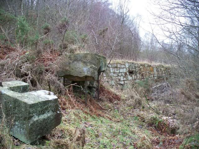
 ^ Lloyd's Engine House, with the capped shaft in the foreground (and slightly to the left).
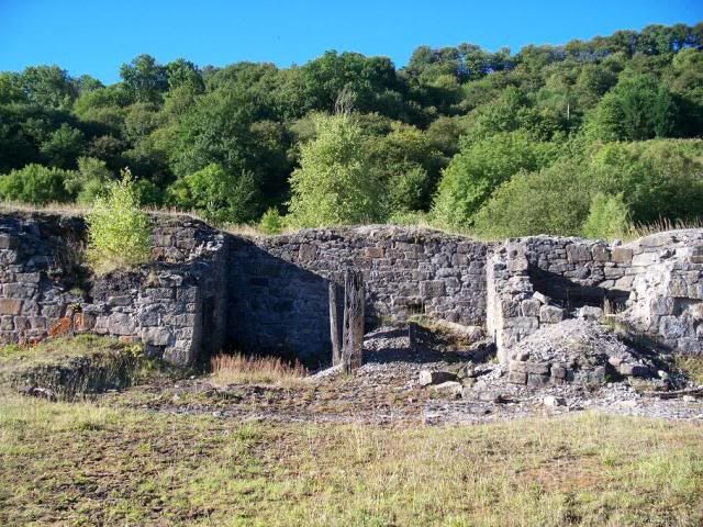
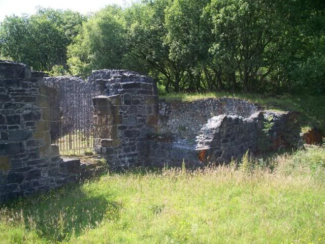
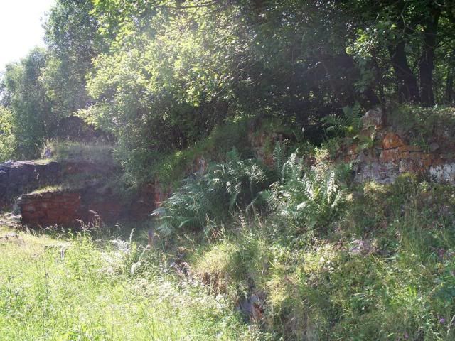
^ three photos of the remains at Lloyd's. I have honestly no idea what these remains represent. It's possible that the second of the three is a boiler house, though I can't be sure. The engine house contained a 14in engine that wound the cage that was used for lowering men, but the engine at Andrew's powered the dressing floor machinery, all of which has been left under the spoil heaps to the north-east.
^ the capped shaft at Andrews, with Lloyd's Engine House just made out to the left in the middle-distance here.
All of these were pre-existing shafts that were reopened by the Minera Mining Co, except Roy's and Ellerton's, both of which were named for early mine managers and were sunk in 1850 and 1852 respectively.
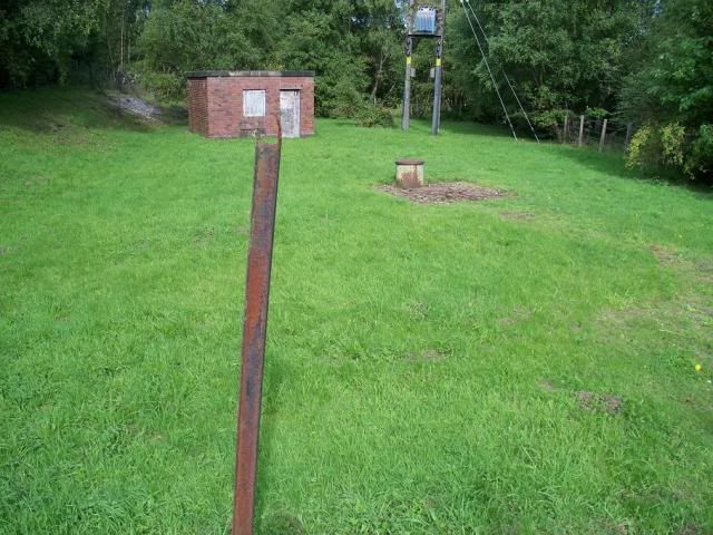
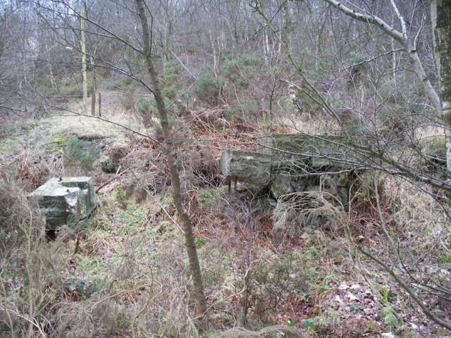
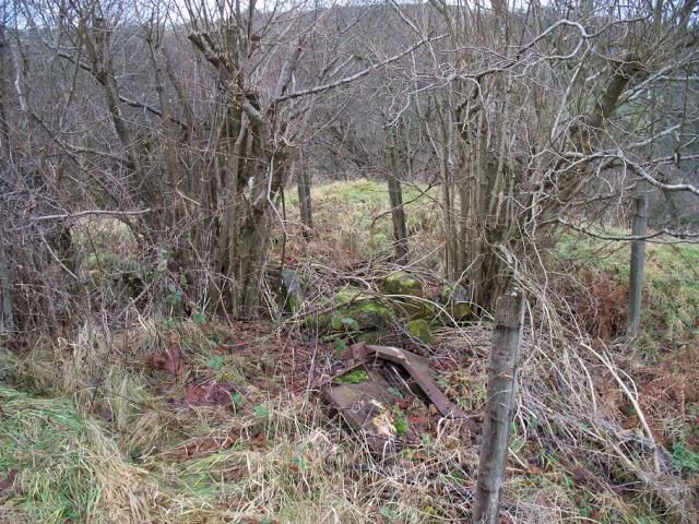
^ I believe this morass of foliage behind the fence here masks Ellerton's Shaft. Though I can't be positive, sorry!
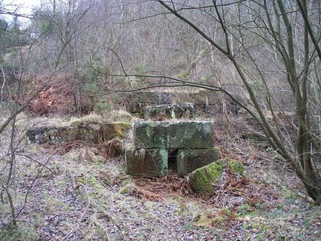
^^ & ^ the remains at Roy's Shaft
^ the capped Roy's Shaft.
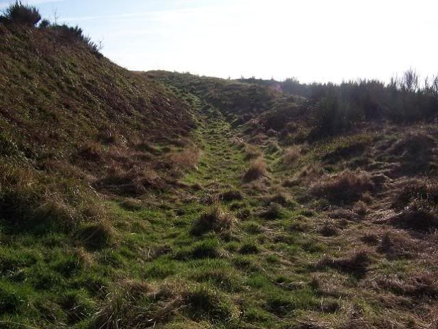
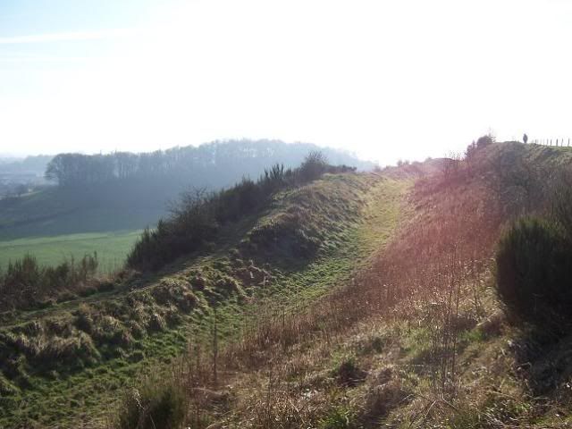
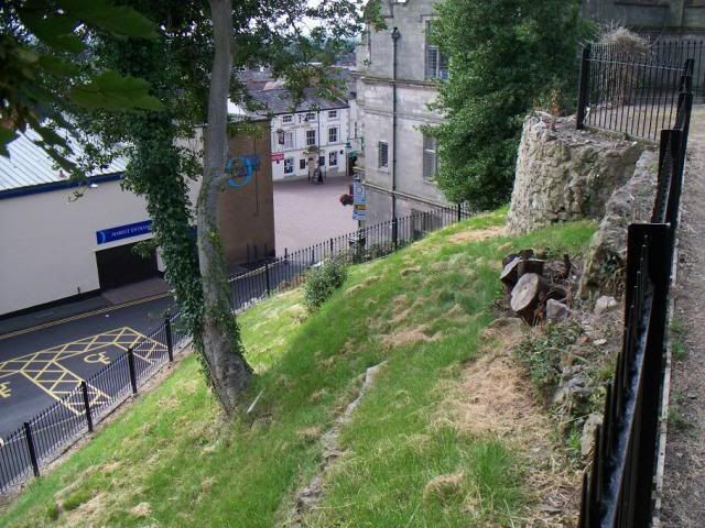
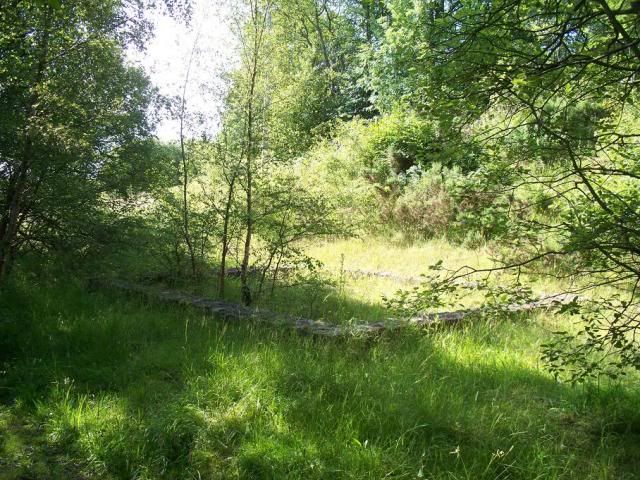
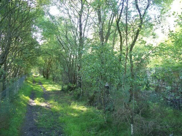
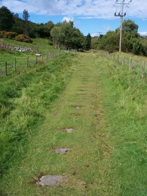
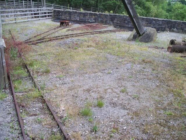
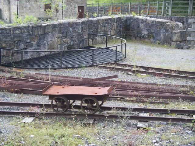
The extent of the Minera Mining Co. workings led to a need for effective transport between the sites, the mineral railway (I've already alluded to this). It ran across the entire sett, was extended when necessary, and connected the leadmines to the Chester-Shrewsbury railway line. Today, the line forms the main footpath through the country park.
^ the sidings to the south of Meadow Shaft.
^ the dressing floors at Roy's, right next to the course of the mineral railway.
^ the line of the railway running west, towards Royle's and Reid's Shafts, and the limeworks.
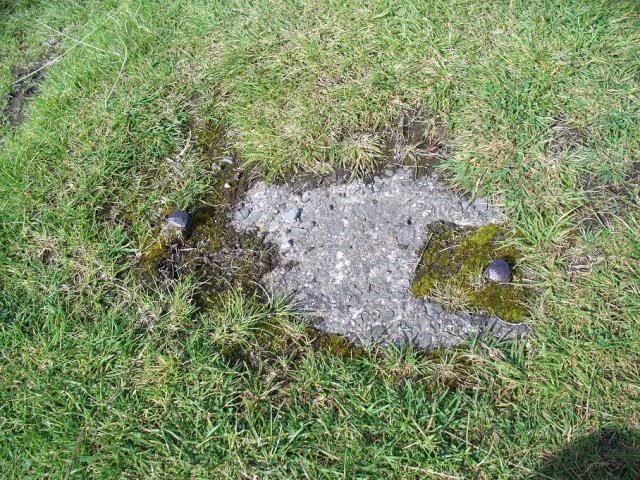
^ the fixings for the railways sleepers can be clearly seen in this west-end part of the footpath.
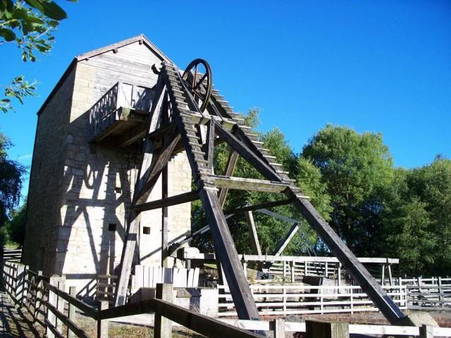
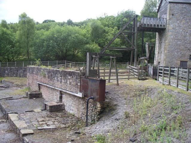
The power of steam was introduced to the mines in the late 1850s, with engines installed at Meadow Shaft in 1858 and Taylor's Shaft the following year. These engines were used to power rope winders to pull up the ore, and the pumps that kept the mines dry - the men used a series of ladders for access to the mines. The ore was pulled up in buckets (known as 'kibbles'), formerly by a horse whim (or gin) circle. This basically involved a horse pulling a rope that was wound around a device rather like a big cog, although men were sometimes used instead to push the spokes around in a circle themselves. Because of the conversion to steam of so many of the mines here, these whim circles don't survive any longer, but there are two very well-preserved examples up on Esclusham Mountain, at the Pool Park mines.
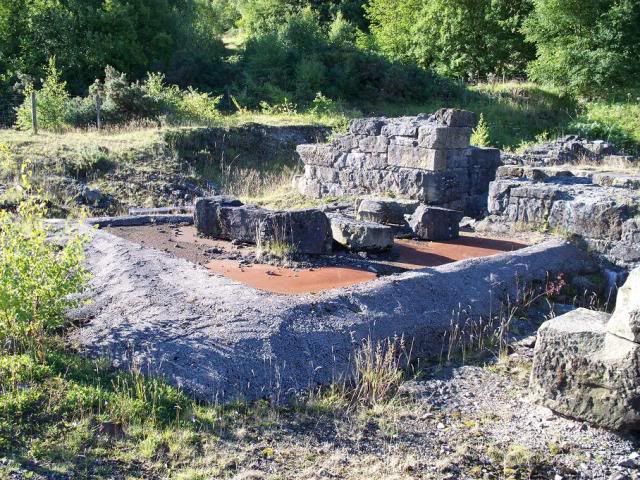
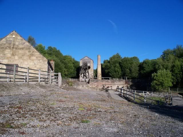
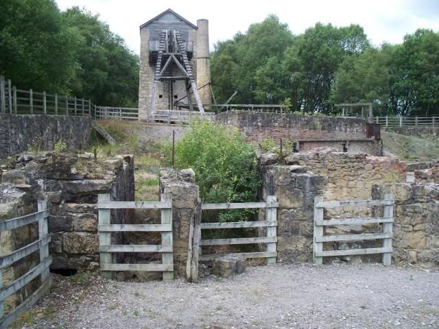
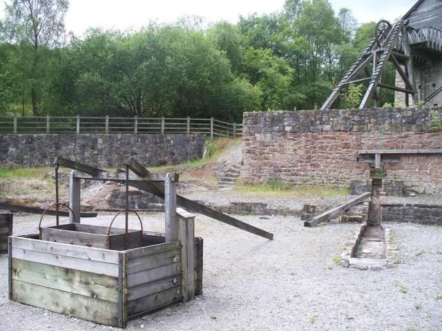
^ Meadow Shaft, with the Ore House to the left, the engine house and main shaft workings in the centre, and the dressing floor sweeping from the centre off to the right.
The mining process can be best seen at Meadow Shaft, which was latterly used as a spoil heap for Taylor's Shaft, and so the machinery from the 1850s is wonderfully preserved. I have already spent some time explaining the process of the steam engine, but what of this talk of boilers, balance boxes, and capstans? Well, here we can see the full set-up. So, let me take you through it! For the steam engine to work, it needs steam, obviously. That steam is gained from boiling water in huge boilers, which used chimneys to increase the air intake and thus the heat of the fires, making the process a lot quicker.
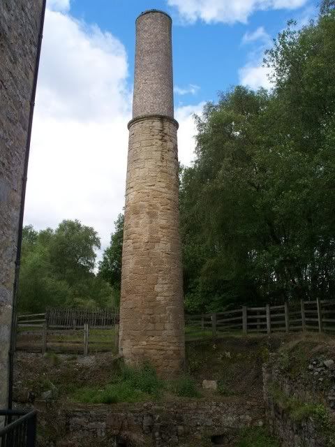
^ the boiler house, with the brick foundations of the boiler beds.
^ the superbly preserved two-tier chimney.
^ the coal store, to the left of the boiler house.
The steam was then fed into the engine, housed within the Engine House.
^ see the window above the door on the left? That was where the steam was funneled into the engine.
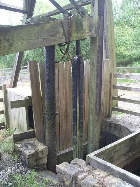
The shaft at Meadow Shaft was oval, 7ft x 8ft, and divided into two, with one half for pumping and the other for lifting ore and access.
^ I've often wondered why there is a door opening out right into a 1220ft-deep mineshaft...
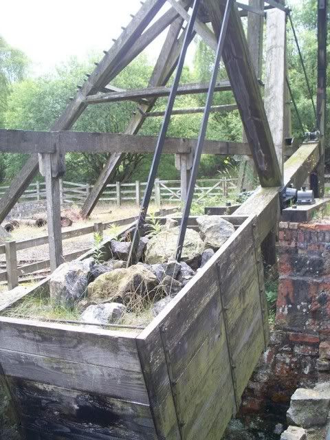
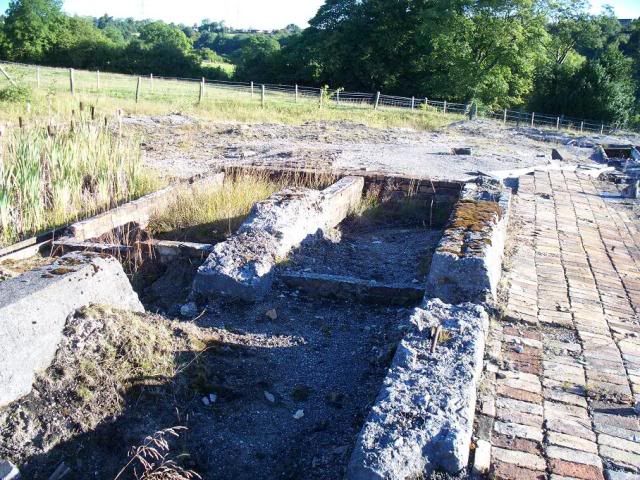
^ the pumping rods used to pump water from the shaft into the launder, which is hidden in this photo by the beam connecting the pumping rods to the balance box:
^ the balance box, loaded to 15 tons, used to counterbalance the pumping rods used in the shaft. The launder runs across the centre of the above photo.
The engine, 40in, worked at three strokes per minute and could manage four bucket lifts. It wasn't the only steam engine on the site, however - a second engine on the dressing floor, 20in, was used to power the rope winder and rock crusher. The winding business is the process of pulling up the ore in kibbles: the massive flywheel on its wooden frame in front of the engine house turned around a rope fed from the rope drum pit on the dressing floor:
^ the engine and boiler house, a much smaller affair than that at the pit head, installed in 1858.
^ from left to right we have: the rope drum pit; the gear pit (now with a bush growing out of it), where the power generated by the engine was transferred through the gears to the rope winder and the crushing rolls; and the crusher house. The angle is slightly off here for you to appreciate the relationship between the rope winder and the flywheel.
Prior to all this wonderful use of steam to power the winding, a capstan worked the shaft, though there is now no evidence of this:
^ told ya!
The ore was brought to the surface as mentioned, and then shuttled from the pit-head to the ore bins. On this 'picking floor', women and children would sort through the buckets and separate the good stuff from the waste material, or 'gangue'.
^ the tramways leading to the picking grates.
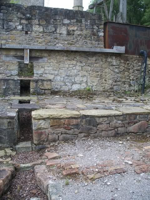
Smaller pieces were passed through to the dressing floors, where it would be cleaned on-site. Water, pumped directly from the mine by the steam engine, was channeled along wooden launders to the picking grates, where it was used to wash the waste from the ore.
^ wooden launders channel water into a tank (centre), where it can be used to wash the ore as it tumbles from the ore bins onto the dressing floor.
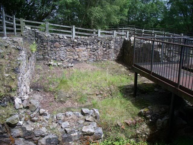
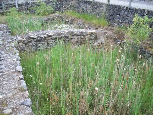
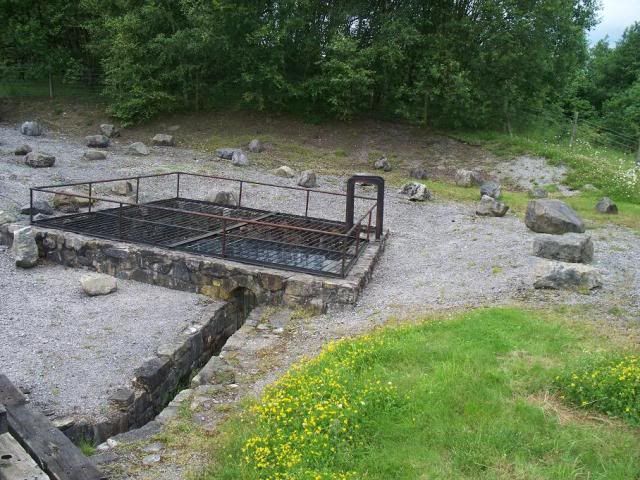
The water was channeled through a trunk buddle, where the fines (the small amounts of ore remaining) were collected, the water proceeding into the settling tanks further away, where any more potential ore could be salvaged - the idea here was that the waste would float to the top of the tank while the heavier ore would sink onto the bottom.
^ the settling tanks, now infested with bullrushes.
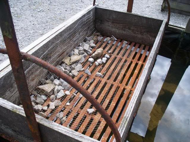
This principle also applied to the jig-box, a hand-operated piece of machinery where the lead ore was placed in a small cage within a larger box of water, and 'jigged' up and down to loosen the waste.
^^ The jig-box with the picking floor behind
^ The jig-box basket
Larger rocks were bashed with hammers to be picked over again, or later taken by an inclined tramway to the crushing house, where it would be fed between two metal rollers and crushed into more manageable sizes:
^ the incline to the crusher house
^ inside the crusher house
Water was also used to operate the circular buddle, mentioned a while back. The premise of this machinery was to use a big brush to wash the gangue from the ore, having a waterwheel turn the brushes, which moved over the ore held in a circular basin-type structure:
The ore could then be retrieved and any waste water was channeled to a further settling tank, in case any of it was missed:
To put all of this together, then, this is Taylor's Shaft:
And this is the comparative view of Meadow Shaft:
The shaft is always to the fore, with the engine house behind, the boiler house to the right and slightly behind, the balance box pit in front of that. Anyway!
To the immediate west of Meadow Shaft, the next mine you come across is Brick Shaft. I must confess, I've been able to find out nothing about who worked this shaft, and when, but there are similar remains to those at Roy's which, taken with its location close to the mineral railway between Meadow and Taylor's Shafts, I will assume it was the Minera Mining Co. who were responsible:
The whole area is literally riddled with mineshafts, however. At its height, the Minera Mining Co. operated 14 shafts on the sett. Some have been mentioned, and some are more innocuous, such as the one at Phillips, to the immediate west of Taylor's Shaft:
Some, however, are nameless - such as the "number 6 shaft" (the aforementioned Speedwell Shaft is also known as "number 7 shaft") to the immediate east of Meadow Shaft, visible from the footpath between the car park and the visitor centre:
The 1860s and 1870s were the boom-time for lead ore prices. In 1864, Minera Mining Co. reported profits of £60,527 5s 6d (over £4.5million as of 2010). This was quite eerily predicted at the AGM of 1860, where John Taylor jnr had discussed his intentions to mine deeper in the six shafts the company was then working, rather than experimenting with further shafts. The primary objective in the 1860s seemed to be getting Lloyd's Shaft productive again, and by 1867 they had installed a steam-wound cage to lower the miners, rather than relying on all those ladders.
The 1870s saw the introduction of compressed air drills to the mines, the invention of John Darlington, author of the highly influential 'On rock drills and hydraulic machinery for mines'. A compressor house was built to the south of Meadow Shaft to provide the air for this purpose, though nothing survives of this today.
^ what I believe to be the site of the compressor house, though I'm not 100% sure.
To the far west end of the mines operated by Minera Mining Co. were three further shafts, Reid's, Royle's, and Hydraulic.
↑ & ↓ Royle's Shaft, a distressingly bad pair of photos, admittedly. Below shows, in the centre, the metal coverings.
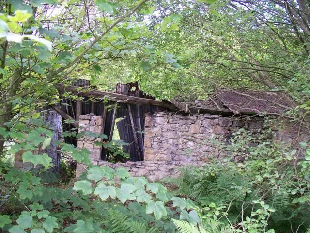
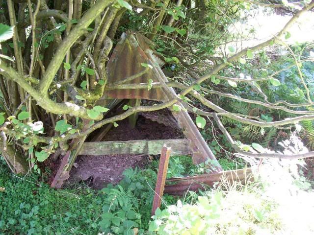
^ the woods at the west end of the sett, much more than the consolidated areas of the eastern end, are full of junk like this. It probably isn't, but it's tempting to think this might be the timber-built mill building with corrugated iron roof advertised as lot 463 in the sale catalogue of 1914 (see below).
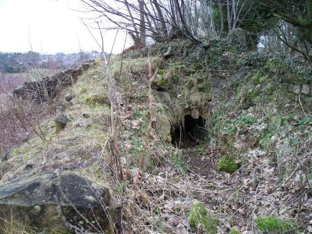
^ the now rubbish-filled Hydraulic Shaft, once worked by Darlington's hydraulic water pump.
The most important addition to the site in this decade was the Halvans Plant, set up in 1872-4. Now, as stated earlier, lead ore is found in limestone, and mining this underground often means cleaving huge chunks of rock, some of it ore and some of it junk, or halvans. Following exceptionally good years, the 1870s began to see a downturn in the reserves of ore, so the company set about looking through their waste piles (spoil tips) to see if they missed some in the first instance.
The halvans plant at Minera has the distinction of being built in stone, which allows a lot of its features to be made out. The plant was operated by a steam engine, which turned two crushers and six buddles over the halvans in an effort to recover absolutely any remaining ore from the gangue.
^ the water reservoir, with Taylor's Shaft seen in the middle distance.
^ the primary crushing house.
^ the chimney base for the boiler house.
^ the foundations of one of the circular buddles.
^ one of the convex centre-heads of the buddles - these were shaped to distribute the halvans into the buddle.
^ the ore bin.
^ overlooking the complex remains of the engine house (the cruciform shape in the centre), with the primary crushing house to the left. The open space in front of this crushing house was a platform for the jigs. The buddles were in the background, and the secondary crushing house is to the left of this photo.
Even though this is still early in the decade, it seems to show a note of panic creeping into the mine-owners, trying to recover anything they could. It wasn't until 1878 that the price of lead ore began to drop significantly, which continued on until it hit rock bottom (if you'll pardon the pun) in 1885.
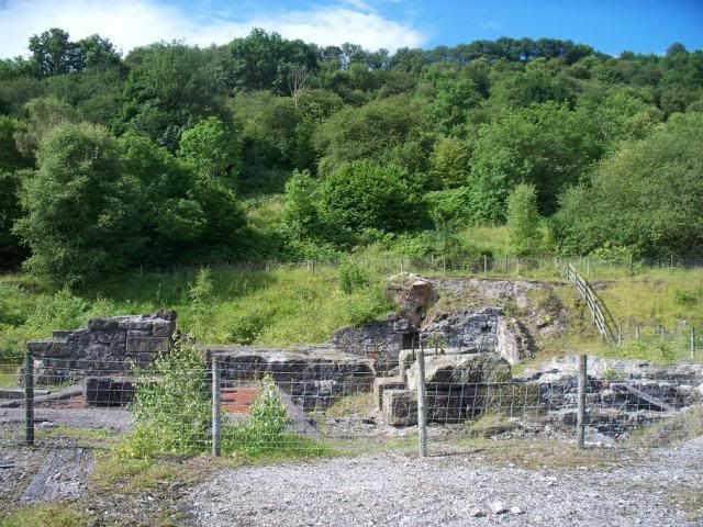
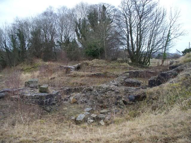
The 1880s saw the introduction of fully up-to-date processing machinery at Roy's Shaft (in 1884), and the construction of a lead smelting works on the mountainside south of Meadow Shaft (in 1888, though it closed five years later).
^ remains of the dressing floors at Roy's Shaft.
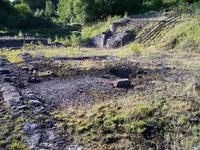
^^ & ^ the stub of the smelter chimney, the only remains of the Smelt Works at New Broughton.
^ even up here, there's no escaping the orange splashes.
Also in this decade, another company emerged on the scene, New Minera Mining Company, formed in 1888 and sinking its first (and only) shaft to the east of Meadow Shaft, at Burton's Shaft, the following year. This shaft bottomed out at 966ft. Despite a profit of £2181 reported after its first year of production (£185000 in 2010), mining had ceased in 1894, and instead the company concentrated on dressing what ore they had already raised.
^ a general view of Burton's Shaft.
^ the capped shaft. Quite why it has such a luxuriant cap, I don't know!
^ a general view north-west over the site
^ Burton's Shaft has some wonderfully well-preserved wooden structures, such as this launder.
^ looking south. Among the mess you can see the jig boxes on the left, at least.
^ I have no idea what this is, but as it's a structure not encountered at the other sites, I'm inclined to say it's associated with the vanning process (see below)
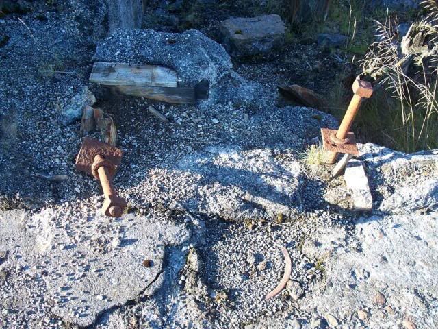
^ it's always good to see mounting bolts in situ!
^ I'm tempted to call this an engine bed, as it looks very impressive. But I don't honestly know.
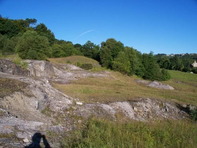
^ a general view of the spoil tips. There is a photograph in the records office that shows Minera looking south from around this area, where the spoil tips were immense. More like those up on Esclusham Mountain associated with Park Leadmines:
With the price of lead ore falling, production of zinc began to look more and more promising, as the price for this mineral began to climb steadily, particularly from 1880. The spoil tips were worked over again, and the mines began to churn out more and more zinc than lead. In 1887 there were 7462 tons of the stuff sold from Minera.
However, even this little boon couldn't save the companies, and in 1895 Minera Mine Company went into liquidation, followed by New Minera the year after. From the ashes, however, a new company was formed, United Minera Mining Company, in 1898. This company focused its efforts on Burton's and Meadow Shaft, linking the two underground at the 430-yard level. This was primarily because Meadow Shaft had bottomed out at 1220ft, hardly an ideal distance to wind ore up from. So the ore was wound up partially in Meadow Shaft, then run along an underground tramway to Burton's, where it was wound up to the surface in trams, the only shaft to do this.
It was in the 1890s that George Wynne took over as mining engineer from Henry Dennis, and began introducing new machinery to the mines as and when he had time to invent it. It is to Mr Wynne that we can credit the introduction of vanning at Burton's Shaft. Vanning is one of the more bizarre methods of ore recovery that I have come across - the small particles of ore are washed on the blade of a shovel and then tossed in the air, which apparently separates them. I suppose it's a similar principle to the jig box, though.
The manager's reports at the United Minera AGMs for the early years of the 20th century show an almost desperate urgency to find ore. Not only are levels being dug all over the place to search for ore, but they also begin digging into the roof of existing levels to go back up and look there, too. The analogy of a Swiss cheese isn't far off the mark, it would seem.
1907 saw a real shock for the lead mines, as the price of dressed ore rose to £14/ton, the same price it held in the 1850s and 1860s. This doesn't last, of course, and the mines now begin to close. Taylor's Shaft, the main centre of mining since the 1850s, stops work in 1908, its cylinder being sold to a Cornish company. Roy's Shaft closed in 1913. Meadow Shaft's pumping engine was sold in 1910 for scrap, the shaft finally closing in 1914. Burton's Shaft remained valiantly open until the bitter end, finally closing in 1919 and the company was put into liquidation.
I'm not entirely sure how Burton's Shaft remained in operation until 1919 when the company's assets were all sold at auction between 26 and 27 November 1914 - including the timber pit-head frame, horizontal engine cylinder and accoutrements, crushing rolls, vanner, jig boxes and buddle, and a 'timber-built mill building' were all sold from Burton's Shaft. The catalogue of sale is quite exhaustive, even down to selling the sleepers from the mineral railway, and boxes of nails, 'sundry spanners', even two wheelbarrows at Ellerton's shaft. GF Wynne remained at the site, operating a gravel works from the spoil tips for a while. But largely the site, which had once been redolent with the sounds of heavy industry, just decayed steadily. It wasn't until the 1980s that Clwyd County Council undertook a programme of land reclamation, making safe the area around the leadmines, capping shafts and clearing away any potentially harmful heavy-metal remains. During the archaeological excavations, lead by the late David Bick, uncovered the fantastically well-preserved Meadow Shaft dressing floors, which led to a programme of reconstruction of many of the machines, roofing the engine house, and making available for public display a lot of the interesting stuff that you can see today! Marvellous!

As a final note, I would like to encourage you all to go visit the Minera Leadmines visitor centre, and take a stroll in the country park. In this now quite a peaceful area of countryside, amid dog-walkers and ramblers, take a moment to consider just what a hive of industry this whole area once was. There is a whole host of detritus and general junk in the area, hidden under the bushes when you least expect it - pumping rods and the like. All demonstrative of the heavy industrial use the area once went through.
There is always something new to discover at Minera, where the foliage often masks huge ruins of the industrial past. But please take care, and don't go climbing over fences or crashing through the undergrowth, as historic sites - particularly industrial sites as extensive as this one - can be hazardous!